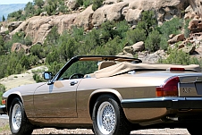
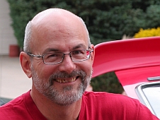
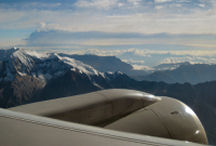
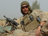
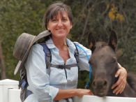
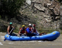
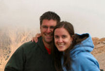
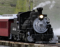
![]() Well, it finally happened. All the effort I have put into getting a professional chapter of Engineers Without Borders started here in the Springs has come to fruition. We adopted a drinking water and sanitation project for a remote Aymara Indian community in the Andes Mountains last fall and have been raising funds and making preparations for a site assessment trip in the Spring of 2009. In mid-May I led a team consisting of three members of the professional chapter and three members of the Air Force Academy student chapter to Suncallo, Bolivia. What follows are the notes I wrote up on the plane coming back. It consists of many observations and side notes on the trip. There was a great deal of adventure getting there and back but overall we accomplished our mission and brought back lots of data and pictures which will help us in our engineering design work. Note: if you click on the pictures you can see a larger version.
Well, it finally happened. All the effort I have put into getting a professional chapter of Engineers Without Borders started here in the Springs has come to fruition. We adopted a drinking water and sanitation project for a remote Aymara Indian community in the Andes Mountains last fall and have been raising funds and making preparations for a site assessment trip in the Spring of 2009. In mid-May I led a team consisting of three members of the professional chapter and three members of the Air Force Academy student chapter to Suncallo, Bolivia. What follows are the notes I wrote up on the plane coming back. It consists of many observations and side notes on the trip. There was a great deal of adventure getting there and back but overall we accomplished our mission and brought back lots of data and pictures which will help us in our engineering design work. Note: if you click on the pictures you can see a larger version.
 Our trip was delayed by a day due to an American Airlines requirement that all travelers must provide proof of yellow fever vaccination. The American Airlines policy contradicts the guidance given on the US Governments Center for Disease Control (CDC) website which indicates that travelers proceeding to No-Risk areas in Bolivia may sign a waiver at the point of entry.
Our pre-trip research into the vaccination requirements on the CDC website clearly identified the project site to be in a No-Risk area and to keep the costs down and eliminate the risk of introducing a live vaccine into our bodies four of the team decided not to get the yellow fever vaccinations. It is worth noting that the US Air Force declined to provide the yellow fever vaccination to the members of EWB-AFA for the same reasons.
The last thing we expected was for the airline to deny us boarding our aircraft. Regardless of our justifications and documentation supporting our position American Airlines refused to allow us to board the aircraft. Other EWB chapters should be made aware that the airlines have this authority and that the airlines policy may differ from the US Governments. It should be incumbent upon the travel agency to make the travelers aware of any requirements levied by the airlines. Apparently, the $360 in “fees” we paid the travel agency didn’t include this small courtesy.
Fortunately, we were able to locate the required vaccine and proceed the following morning on a direct flight from Denver to Miami and thence on a direct flight (overnight) to La Paz from the Miami airport. Visa fees were paid, Immigration was cleared (no they didn’t ask to see our yellow fever vaccination certifications) and Customs was cleared effortlessly.


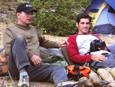
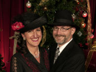
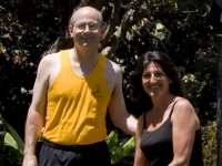
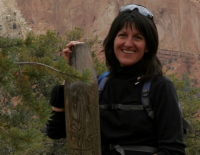
 This is the last Saturday that the three of us ‘at home’ will all be here before Kristina leaves for California next week. We decided that was reason enough for an adventure so off we went to Einstein’s Bagel shop for breakfast to get a good start on the day. It was a somewhat cool morning so we skipped eating out on the terrace. We chatted over breakfast about Daniel, the military, school, and of course, California. It was great to hear Kristina share some of what is taking place in Daniel’s life, how God is working and how that affects her future.
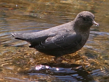
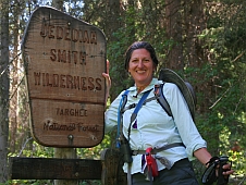
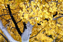
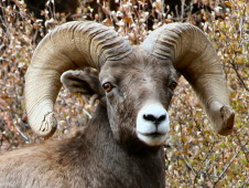
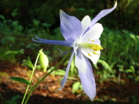
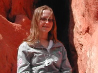
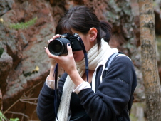
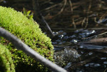
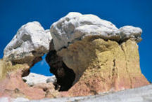
  The canyon was arrayed with reds, golds, and still a fair amount of green foliage as we drove through to the far end parking lot. We are hoping to see some of the Big Horn sheep in the canyon so we were constantly looking up the canyon walls for any signs. The cloud cover provided great lighting for my two photographers. Josh recently gave Kristina his old 35mm and so she is shooting today as well as her Dad. We have written previously about the trail and posted pictures so I will not go into too much detail as you can read the old post for a more in depth description of the trail. The trail doesn’t go very far in to the canyon before it crosses over into the National Forest and begins a continual, gradual increase to a tall waterfall. The trail was a magic place today – the leaves were falling and the stream that supplies water to Glen Eyrie was babbling as we followed along.
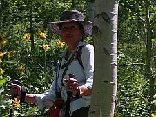
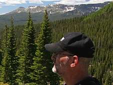
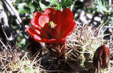
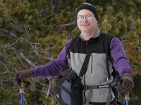
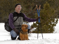
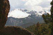
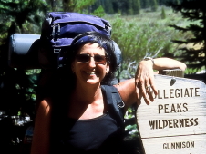
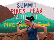
 The sky was that deep blue color and there was not a cloud to be seen. The temps were climbing along with us and the layers started coming off so we did not overheat. After another mile of trekking we made it up to the junction of Hartenstein Lake trail which is in a large meadow-like area and rested for a while. Our goal was to make it to the top of Browns Pass. So far we had gained about 1,200 ft in elevation and my leg was starting to complain. We decided to push on anyway and see how far we could make it. The trail shortly disappeared and we found ourselves breaking trail as we went. In about a half a mile it became apparent that my leg was not going to make it and we were forced to turn around. We were at 11,250 ft elevation and still had another mile to go topping out at 12,000ft.


")